From Tronto to Castellano

The route From Tronto to Castellano connects two valleys that are symbols of the Acquasanta Terme territory, where stories of brigands, soldiers and wayfarers have intertwined over the centuries.
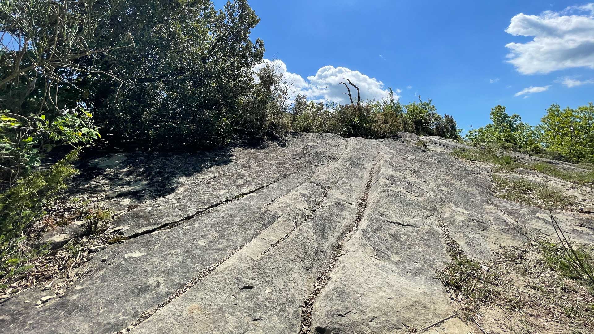
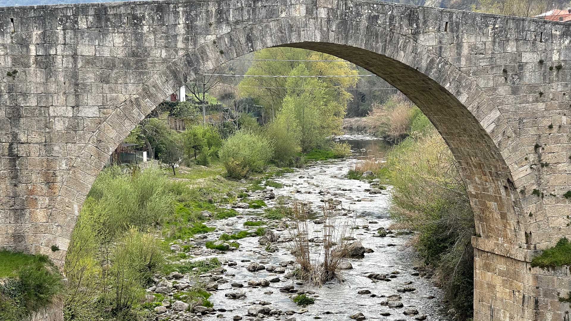
It starts from the village of Ponte d’Arli, dominated by the imposing sixteenth-century bridge, then climbs along the rocky wall to reach Palazzaccio, an ancient travertine settlement now silent and evocative.
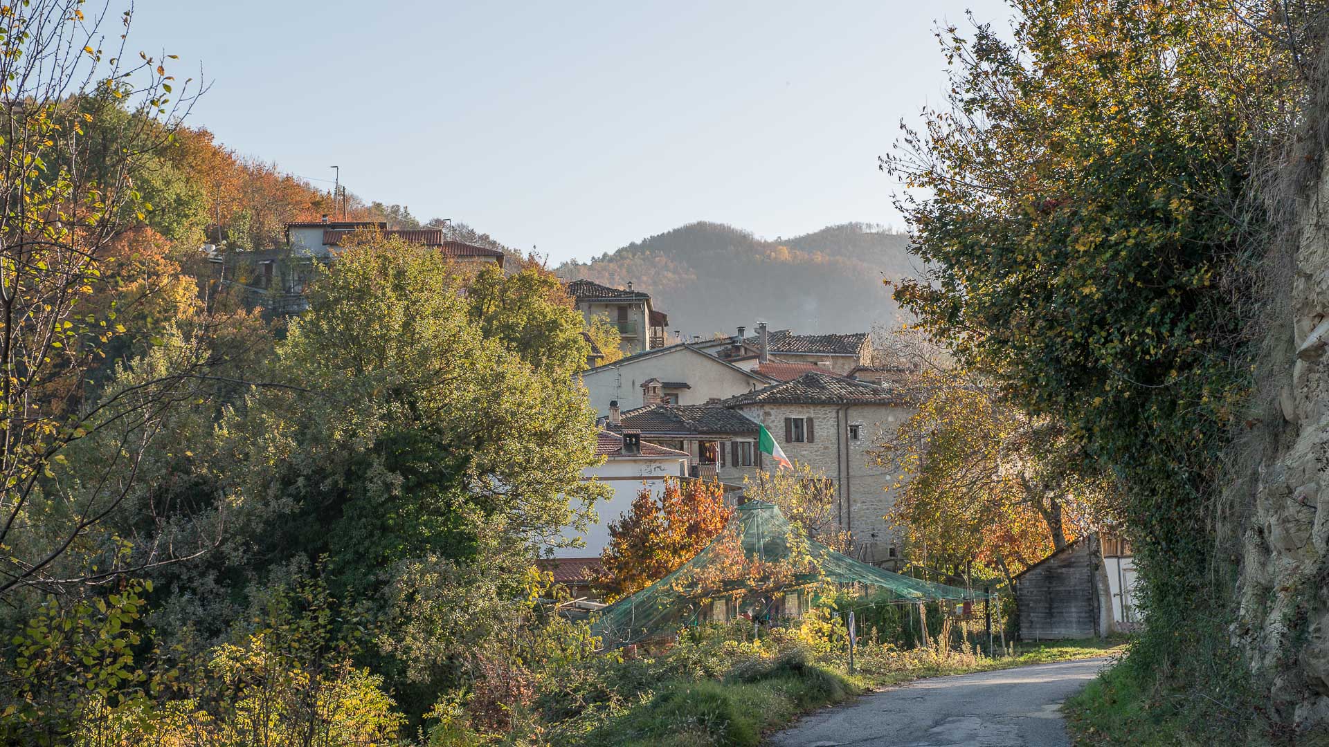
The journey continues towards Cervara, a ridge village from which the view opens onto the mountains and the dry stone walls that once defended the cultivations.
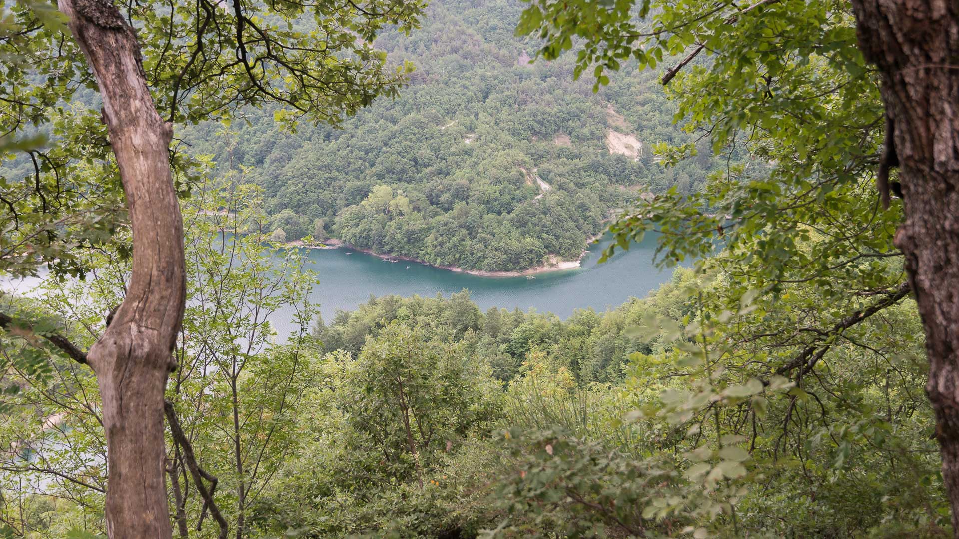
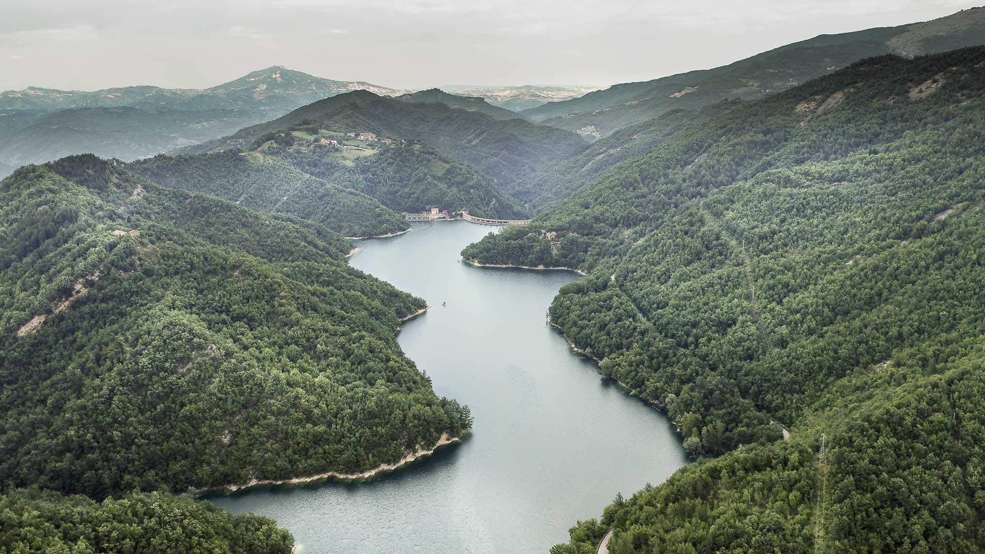
From here the descent crosses woods and pine forests to Talvacchia, overlooking its artificial lake, with the possibility of detouring towards Carlccitt, a ghost village suspended over the water.
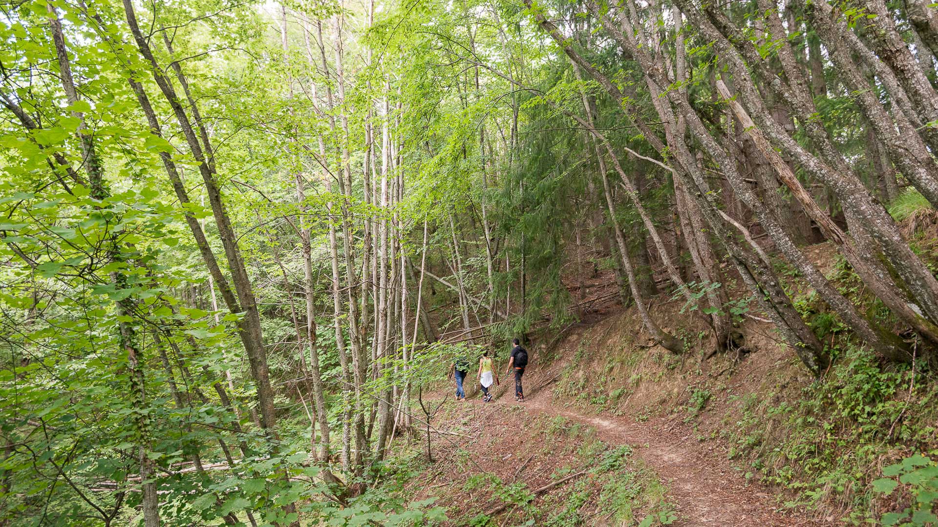
The route, well marked, alternates shaded stretches with panoramic views of great charm.
A medium-difficulty itinerary that tells the story of the tenacity of mountain people and the authentic beauty of the two Ascoli valleys.
Perfect in every season, it is an invitation to walk slowly through history, nature and memory.

 

Among stone villages, ancient bridges and secret valleys

This itinerary of great historical and landscape value connects the valleys of Tronto and Castellano, traveled for centuries by soldiers, brigands and wayfarers.
The departure is from Ponte d’Arli, where the sixteenth-century bridge (1572-1580) marks the entrance to the village and the trail. After a short stretch of dirt road, you climb along the left wall, through woods and clearings, to the small village of Palazzaccio, with travertine houses abandoned but still bright under the sun.

From here the path climbs towards Cervara, ancient hunting outpost of the Ascoli nobles, crossing ancient dry stone walls and stretches of mixed forest. From the summit (813 m) the view embraces both valleys.
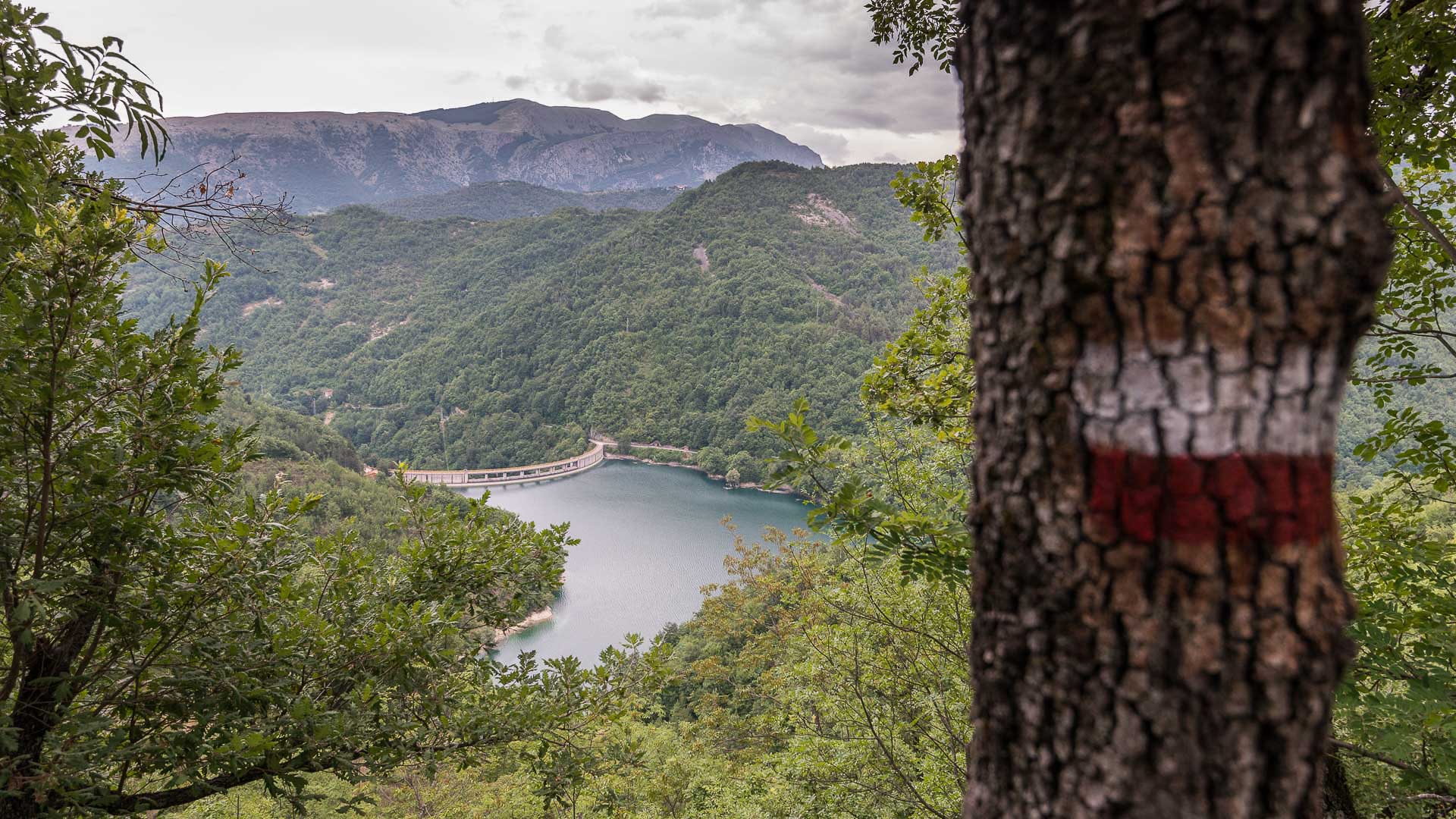
The descent continues towards Talvacchia, along a path that alternates pine forests and glimpses of the lake below, with the possibility of a detour towards the abandoned village of Carlccitt, suspended over the water surface.

The route ends at Talvacchia or, for those who want to continue, at the dam.


Technical Details

  • Departure: Ponte d’Arli

  • Arrival: Talvacchia / Talvacchia Dam

  • Distance: 8.9 km (one way only)

  • Elevation gain: +500 m / -480 m

  • Maximum altitude: 813 m

  • Minimum altitude: 332 m

  • Difficulty: Medium

  • Average time: 3h 30′

  • Recommended period: All year round

  • Starting point variants: Talvacchia Dam, Talvacchia village, Cervara


Useful tips
⚠️ Respect agricultural gates by closing them after passing through.
🟩 Trail well marked with white-red flags.
📍 Ideal for those who love panoramas, local history and forgotten villages.